
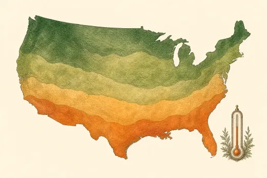
USDA Plant Hardiness Zones
A plant's hardiness zone tells you the coldest winter it can normally survive. The USDA map divides the country by average annual extreme minimum winter temperature, in 10°F bands. Pick your zone below to see its climate, the states it covers, and what grows well.
| Zone | Winter low (°F) | US ZIP codes in our data | |
|---|---|---|---|
| Zone 3 | -40 to -30 | 201 | View zone 3 › |
| Zone 4 | -30 to -20 | 1,920 | View zone 4 › |
| Zone 5 | -20 to -10 | 4,837 | View zone 5 › |
| Zone 6 | -10 to 0 | 9,132 | View zone 6 › |
| Zone 7 | 0 to 10 | 7,040 | View zone 7 › |
| Zone 8 | 10 to 20 | 5,244 | View zone 8 › |
| Zone 9 | 20 to 30 | 3,241 | View zone 9 › |
| Zone 10 | 30 to 40 | 1,265 | View zone 10 › |
| Zone 11 | 40 to 50 | 122 | View zone 11 › |
Find your zone by ZIP code
Your hardiness zone comes from your location's winter climate. To see the zone and frost dates for a specific place, open its local weather and growing conditions page, or check your first and last frost dates. Hardiness zones describe winter cold only; frost dates and the length of your growing season are just as important for planning what to plant and when.
Zone boundaries follow the 2023 USDA Plant Hardiness Zone Map. ZIP counts reflect the locations in our database and are shown to indicate how common each zone is, not as official totals.